

The Making of a New Steamboat Trail Map
Behind the Scenes of the Creative Process
With Alterra’s massive $200 million investment in recent resort improvements at Steamboat — this hometown ski area notched its spot as the second largest ski resort in Colorado. With a record-setting gondola, state-of-the-art learning center, reimagined après ski plaza, pumped up snowmaking capabilities, and 650 acres of new expert terrain — comes an all-new winter trail map.
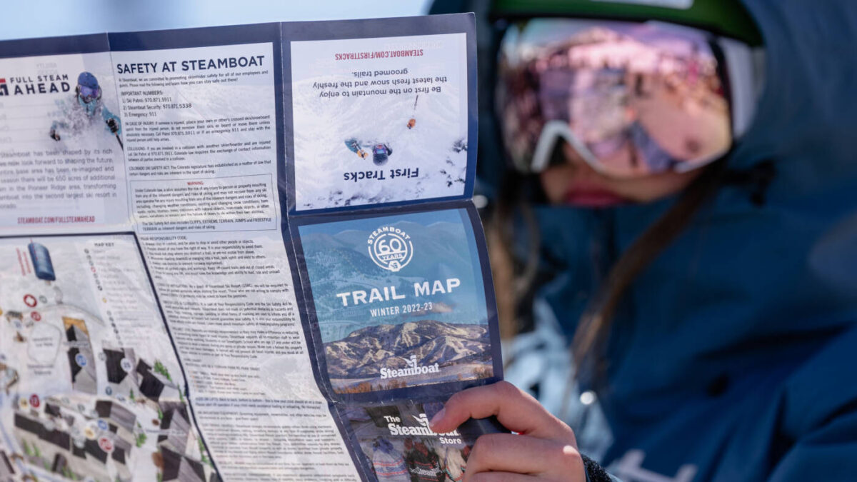
Steamboat tapped talented local graphic designer Stefan Bast to re-create the trail map that will replace all existing maps on the mountain, website, app and printed pieces. The previous map was originally created in 2007, with some minor iterations and updates occurring each year.
Bast started from ground zero on this map, reimagining the functional artwork and spearheading the first visual that fully and accurately shows the scale of change at Steamboat.
Here’s a look behind the scenes at how Steamboat reimagined the winter trail map:
Q. What are the most exciting changes to the winter trail map?
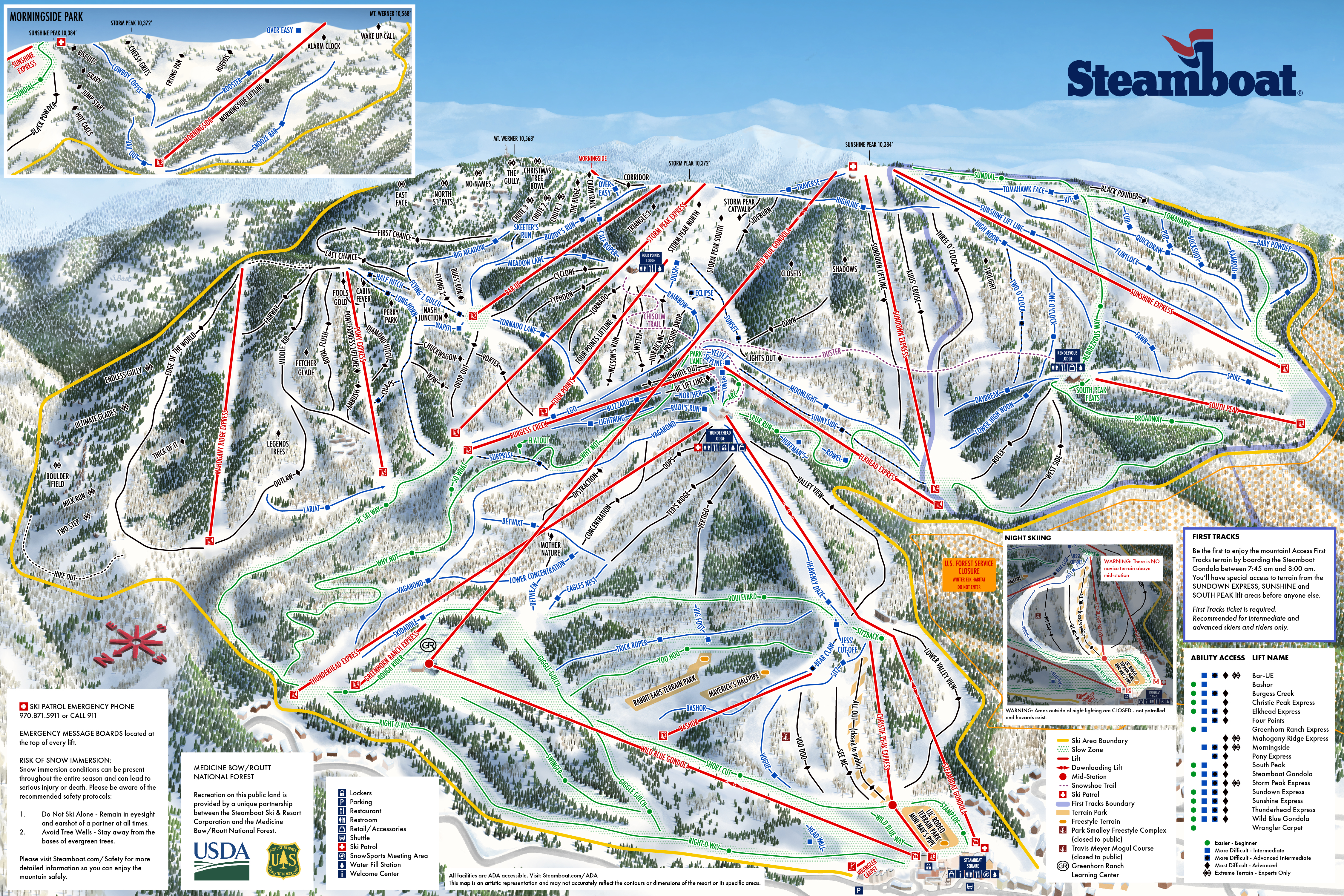
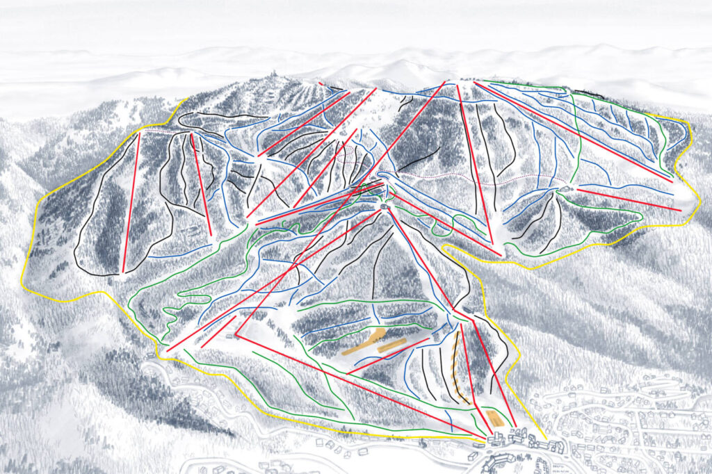
Given the addition of new terrain to the resort for the 2023/24 season, the map required a complete redesign with a new scope and new artwork. Adding the Mahogany Ridge Terrain means that the trail map now has to incorporate part of the Fish Creek canyon and that has a ripple effects on how the remainder of the resort is represented.
Highlights include:
- Adding the new 650 acres of advanced and extreme terrain in the Mahogany Ridge area. This expansion includes the new Mahogany Ridge Express quad lift.
- Completing the top-to-bottom Wild Blue Gondola (the longest and fastest 10-person gondola in North America).
- Reconfiguring the Rough Rider/Bashor Basin area rounding out the new Greenhorn Ranch Learning Center that opened winter 22/23. Including a new quad-chairlift and sculpted terrain built specifically to help beginning skiers and riders progress more easily and quickly.
“The art lies in capturing different aspects of the resort in a piece of artwork without skewing things to the extent that the mountain loses its shape and becomes unrecognizable.”
— Steamboat Trail Map Artist Stefan Bast
Q. What goes into the map creation process?
Creating a trail map is not merely an exercise in cartography. The goal is often not a completely geographically accurate representation of the terrain that is true to scale but rather an interpretation that aims to pull relevant terrain progressions, chairlifts, and amenities together in a fashion that gives guests an understanding of how to navigate the mountain. It’s a step-by-step development:
1. Research
The process starts with a lot of research and approaches with as many tools as possible. Skiing the resort to get a feel for it is obviously a big advantage and accessing the terrain in the off-season by bike or vehicle helps to round out in-person impressions.

2. Sketches
New gondola and chairlift terminals being installed in the summer helped to form a concept on how things will shape up over the winter. From there, satellite or LiDAR drone imagery and multiple specific photographs guide initial sketch concepts.
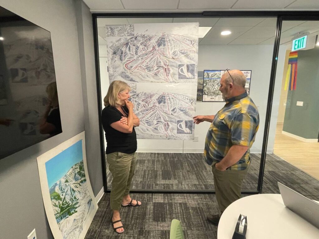
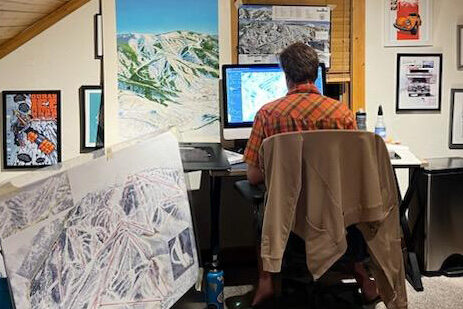
3. Digital Drafts
The first rough layouts mainly serve to capture the general scope and perspective of the map. From there, they are refined into pencil-style drawings that capture all of the detail that needs to be featured in the final map: cut runs, rock fields, terrain features, structures and plenty of trees. Keeping these sketches digital gives the ability stay agile and respond to any edits. It also allows flexibility to have several options for specific areas within the same sketch. There is a lot of cooperation at this stage and the goal is to nail down the final layout before the laborious process of creating the final artwork.
4. Final Art
Now it’s time to use the detailed sketch as a jumping off point for the final art. All art was created digitally since it builds in flexibility for any final edits as well as any future changes at the resort. An addition of a new cut run at some point down the road doesn’t require whole areas to be repainted and the map can be production-ready much faster. Every aspect of the map is saved as its own element and remains editable.
Once the final artwork is complete, all the runs, lift names, and other messages are overlaid. While there is a lot of information that needs to be packed into a trail map, the goal is always to avoid clutter where possible and let the map speak for itself.
Q. What programs are used create the map?
When it comes to creating the actual art, a variety of programs are used, mostly within the Adobe product family. From Procreate to Adobe Fresco and Photoshop to Illustrator, the map is transformed from broad initial sketches into the final product. The look and feel of the artwork is accomplished using a stylus and tablet coupled with a desktop computer for plenty of processing horsepower.
#FunFact: Nearly 80-90% of the trees in the map are drawn uniquely.
Q. What are the biggest challenges?
The biggest challenge in creating a trail map is capturing a three-dimensional mountain and compressing it into a two-dimensional piece of art that conveys all of the aspects of the resort in a manner that makes sense. The mountain needs to come alive in the map and allow visitors to easily find their way around while highlighting relevant features and aspects of the terrain.
Q. What part of the process is most enjoyable?
Seeing the trail map take close to its final form after weeks of work for the first time is always a big treat.
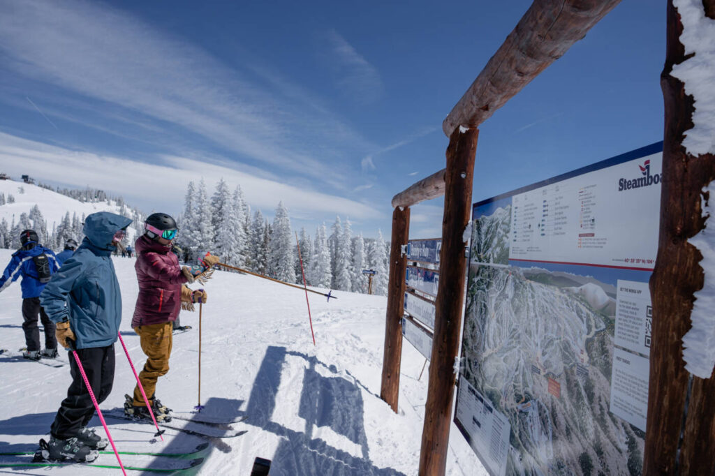
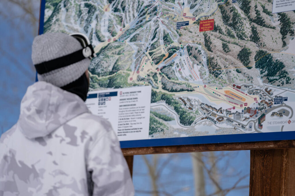
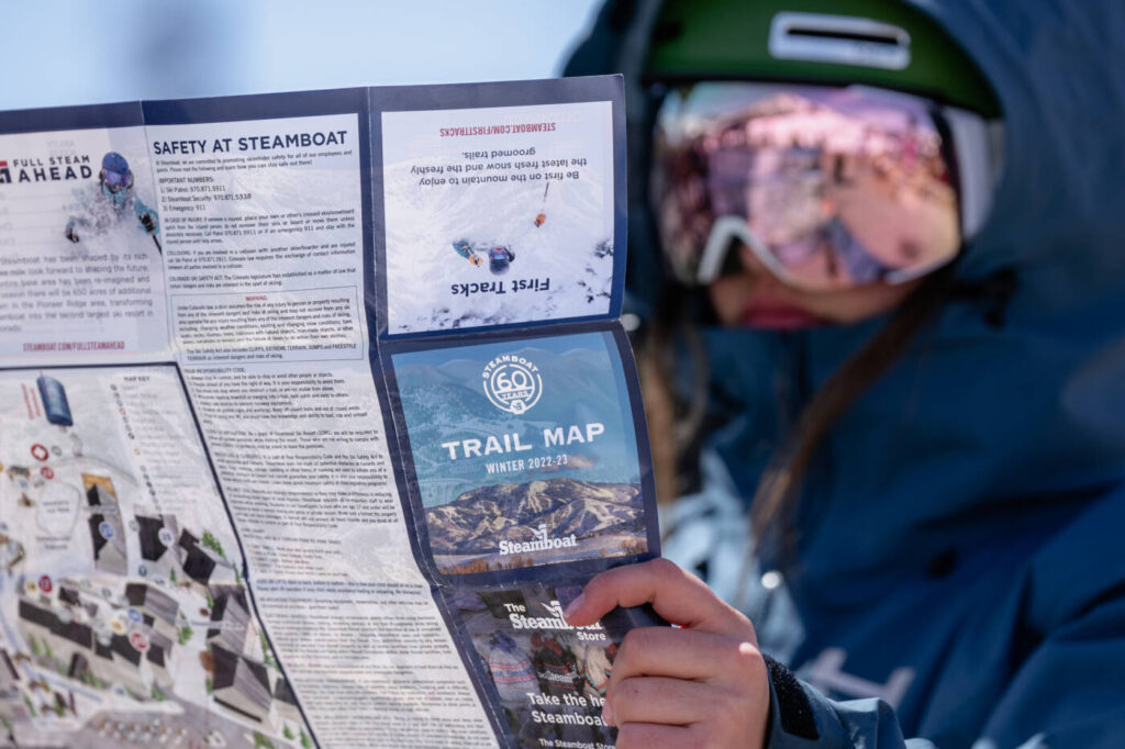
Look for the new winter trail map this season on the Steamboat app, online, in print, and on the mountain.


